As the holiday season approaches, the question of whether the tri-state region will see a white Christmas is once again gaining attention. For many residents, the image of fresh snow on Christmas morning remains a nostalgic hallmark of winter. However, meteorological records and upcoming forecasts suggest that the chances of reaching the traditional definition of a white Christmas—at least one inch of snowfall on December 25—remain uncertain and historically uncommon for much of the area.
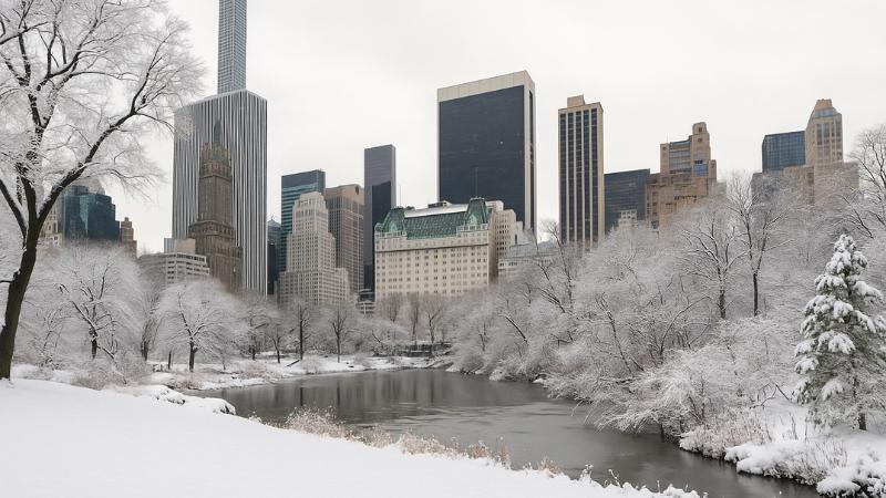
Weather patterns over the last several decades reveal a notable decline in holiday snowfall across the region. Central Park last recorded a white Christmas in 2009, when 2 inches of snow fell on Christmas Day. In Islip, the most recent occurrence dates back to 2002, which delivered a significant 8-inch snowfall. White Plains has gone even longer without a white Christmas, with the last measurable event occurring in 1977, and Bridgeport last met the threshold in 1976. Newark has also experienced a lengthy dry streak, last registering a white Christmas in 2002 with 3.5 inches of snow.
Historical climate data from 1990 through 2020 indicates that the tri-state’s probability of experiencing a white Christmas ranges from approximately 5 to 40 percent, depending on location and proximity to coastal influences. While these numbers suggest the possibility is not impossible, they serve as a reminder that substantial snow on the holiday has become a rarity rather than a seasonal expectation.
In recent years, light snow or festive flurries have occasionally passed through the region around Christmas, yet the accumulation has not been sufficient to meet the definition of a true white Christmas. Even last year, Central Park reported a snow depth of 1 inch, though it did not align with the precise timing needed for official classification.
Looking ahead, long-range forecasts for the second half of December show temperatures trending warmer than average, which may limit the potential for widespread snow. However, meteorologists note that the week leading up to Christmas could feature slightly colder-than-normal conditions, with equal chances for periods of wet weather. This means that while the probability of accumulating snow remains modest, a shift in storm tracks or a timely cold front could still create opportunities for wintry precipitation.
Despite a generally mild pattern, bursts of arctic air have already moved through the region this month, offering brief reminders of winter’s arrival and adding to the seasonal atmosphere. With several weeks still remaining before Christmas Day, forecasters caution that conditions can change quickly. Residents hoping for a snowy holiday may find some encouragement in the unpredictable nature of winter weather, even as current trends lean toward reduced odds.
For now, the prospect of a white Christmas in the tri-state remains possible but limited. As forecasts continue to evolve, holiday travelers and snow enthusiasts alike will be watching closely for any sign of shifting conditions that might bring the long-awaited return of Christmas morning snowfall.