









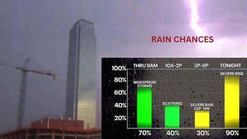
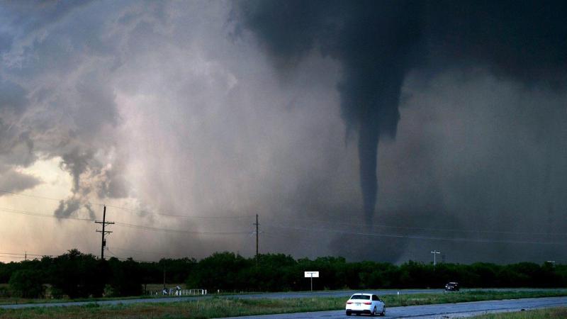











Dallas-Fort Worth residents are urged to stay alert as multiple rounds of severe thunderstorms are forecasted to impact the region from Saturday evening into early Sunday morning. According to the National Weather Service, the storms could bring hail up to 2–3 inches, wind gusts over 60 mph, localized flooding, and even a low risk of tornadoes—particularly if storms develop ahead of the main line. A Flood Watch is in effect for parts of western North Texas—includ
The National Weather Service has issued a Severe Thunderstorm Watch for most of North Texas and parts of Central Texas until 8:00 a.m. this morning. A strong system along a warm front is bringing the potential for very large hail, damaging winds, and a low-end tornado risk in areas close to the front. What to Expect: Hail: While egg-sized hail is possible in isolated areas, most locations will see smaller hail or no hail at al