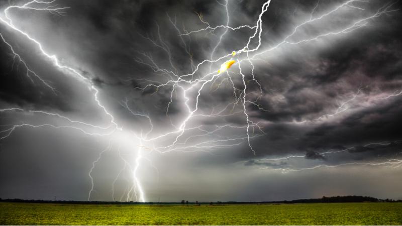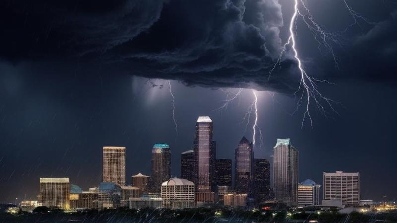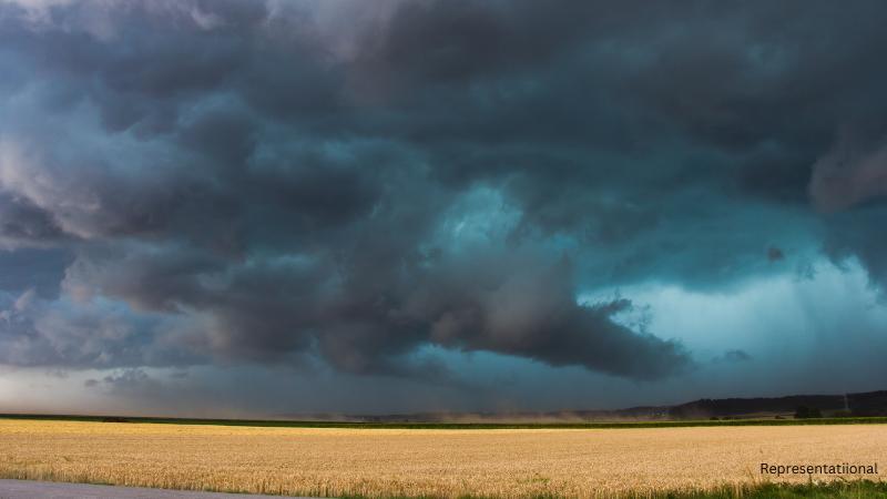
Austin residents should prepare for scattered showers and thunderstorms on Saturday, with rain chances around 30% across Central Texas. Thursday’s weak cold front brought localized downpours of up to 2 inches and gusts up to 33 mph at Austin Executive Airport, setting the stage for unsettled weekend weather. Saturday’s clouds and rainfall will keep afternoon highs slightly cooler than average, ranging between 91 and 95 degrees. Thunderstorms are not expected to be severe, but gusty winds up to 40 mph and lightning remain possible. Boaters in the Highland Lakes region are advised to take precautions, as lightning strikes can occur up to 12 miles from a storm. Safety tips include lowering fishing rods, staying low in uncovered boats, and avoiding water activities during storms.
By Sunday, high pressure will return, clearing skies and bringing drier conditions. Temperatures will rise back into the middle to upper 90s, closer to Austin’s late-August average of 97 degrees. With partly cloudy skies, outdoor activities will be easier to plan, though heat will still be a factor as the weekend closes.
Looking ahead, next week may bring a shift toward fall-like weather patterns. A strong cold front diving south from Canada will cool parts of the Great Lakes, Midwest, and Northeast, with afternoon highs in the 60s. While Texas won’t feel the same dramatic drop, Central Texas could see afternoon highs dip into the 80s by midweek, paired with daily rain chances.
Forecast models suggest the front may stall around North Texas, giving Dallas and Fort Worth the most relief, while Austin and South Texas will remain in the 90s, albeit slightly below normal. The Climate Prediction Center’s outlook for late August supports cooler-than-average conditions for northern Texas, just in time for Labor Day week. Though exact impacts for Central Texas are still uncertain, the prospect of 80-degree afternoons has residents already embracing early “fall vibes,” coinciding with the return of pumpkin spice latte season.