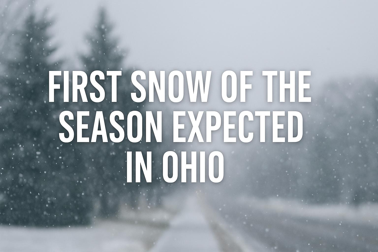
Residents across central Ohio are preparing for a noticeable shift in weather conditions as a strong cold front moves through the region Sunday into Monday. The system is expected to bring rain that transitions into snow overnight, marking the first taste of wintry weather for the 2025–26 season. The timing of the cold temperatures and precipitation has prompted meteorologists to issue a Weather Impact Alert for early Monday morning, warning of slick conditions during the commute.
Rain showers will dominate much of Sunday, with steady precipitation expected across central and southern Ohio. As temperatures begin to drop Sunday evening, that rain is forecast to gradually change over to a mix of rain and snow. By late Sunday night, the colder air will take hold, transitioning the precipitation to all snow for several hours into early Monday morning. While widespread heavy accumulation is not expected, forecasters note that some areas could see slightly higher totals if the system overperforms.
For most of the region, only a light dusting of snow is likely, particularly on grassy and elevated surfaces. However, bridges, overpasses, and untreated secondary roads may become slick as temperatures fall into the 20s overnight. Commuters are advised to allow extra time for travel Monday morning, as isolated icy patches could develop, especially before sunrise. Vehicle windshields may need to be scraped, and engines warmed up before heading out.
The cold front responsible for the change will also deliver the lowest temperatures of the season so far. Early Monday morning readings are expected to drop into the mid-20s, accompanied by brisk northwesterly winds that will make it feel even colder. Wind chill values could fall into the upper teens for parts of the area, particularly during the early commute hours. Residents waiting at bus stops or working outdoors will want to bundle up, with extra layers and gloves recommended to protect against the biting chill.
Despite the early taste of winter, the cold spell is not expected to last long. Temperatures will remain below freezing into Tuesday morning, before slowly moderating through midweek. By Wednesday afternoon, highs should rebound into the 40s, with more significant warming anticipated by the end of the week. Forecast models suggest a return to highs in the low to mid-50s by Thursday and Friday, as calmer and drier weather settles in behind the departing system.
The brief brush with snow and ice serves as a timely reminder for Ohioans to prepare for the upcoming winter season. Experts recommend checking vehicle antifreeze levels, ensuring windshield wipers and defrosters are in good condition, and keeping emergency supplies such as blankets and flashlights in the car. Homeowners are also advised to inspect heating systems and outdoor plumbing to prevent weather-related damage in the weeks ahead.
While this first round of wintry precipitation is not expected to cause major disruptions, it highlights the seasonal transition underway across the Midwest. The combination of falling temperatures, gusty winds, and scattered snow showers will bring a distinctly winter feel to the start of the new week.
Forecasters emphasize that conditions can change quickly with early-season systems, and residents should stay informed of any updates through Monday morning. As of now, light snow and cold winds appear to be the main impacts, but even minor accumulations can create hazardous conditions during peak travel hours.
By the end of the week, the chill will ease and Ohio should experience a milder pattern once again. However, with the season’s first snow arriving, winter’s presence is officially being felt—and it’s a reminder that more significant systems could follow in the weeks to come.