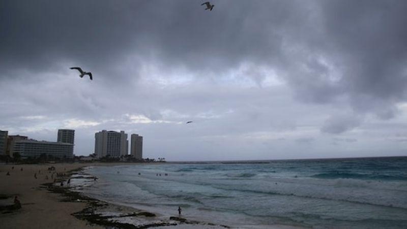
As Hurricane Erin makes its way up the East Coast, millions of people enjoying the last days of summer have been met with severe weather warnings and beach closures. From Florida to New England, coastal regions are bracing for dangerous rip currents, high surf, and strong winds. While the core of the storm is expected to remain far offshore, the outer edges of the hurricane are causing significant concern.
On August 20, 2025, forecasters from the National Weather Service warned of life-threatening surf and winds up to 100 mph (155 kph) as the storm inches closer to the coast. Several beaches have closed to swimming, with the most significant closures in New York and New Jersey. New York City shut down its beaches on Wednesday and Thursday, and Gov. Kathy Hochul ordered three state beaches on Long Island to prohibit swimming. In New Jersey, multiple beaches will temporarily remain off-limits, and several towns in Delaware have restricted ocean access.
Impact on North Carolina and the Outer Banks
The most critical area of concern is North Carolina's Outer Banks, where evacuations have already been ordered for Hatteras and Ocracoke Islands. Storm surges are expected to reach 15 feet (4.6 meters), flooding roads and potentially isolating the islands for days. The storm has already caused localized flooding on the islands, and mandatory evacuations began earlier in the week.
Despite these warnings, many residents are choosing to stay put, including Tom Newsom, a local fishing charter owner who has lived on Hatteras Island for nearly 40 years. He compared the hurricane to a "nor'easter on steroids" but has opted not to evacuate, citing his long experience with storms in the area.
Forecasters have issued tropical storm watches for Virginia, North Carolina, and Bermuda, while Nantucket Island in Massachusetts is also expected to experience high waves later this week. As Hurricane Erin continues its path through the Atlantic, experts warn that the growing intensity of storms like Erin is directly linked to warmer ocean temperatures, which fuel rapid intensification and more catastrophic weather patterns.