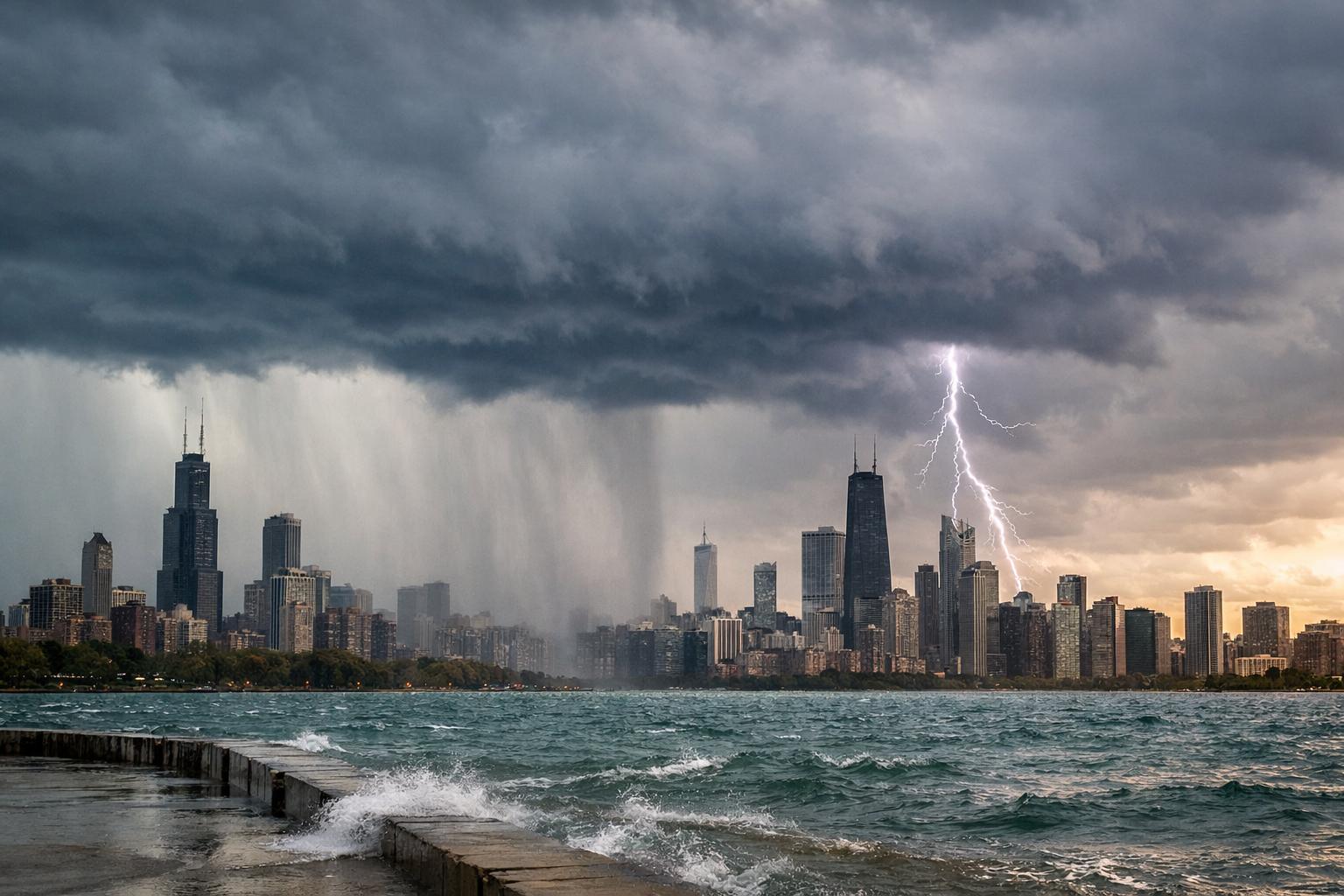
The day is expected to begin with foggy conditions across the region before the first round of showers and thunderstorms approaches parts of the western suburbs early Friday morning. Forecasters say the system could begin developing around 7 a.m. and move east toward the Chicago area between 8 a.m. and 9 a.m. Although these early storms are not expected to reach severe levels, they may still bring gusty winds, lightning, periods of heavy rain and small hail as they pass through the region.
Conditions could briefly stabilize during the afternoon, allowing temperatures to climb significantly. Highs across northeastern Illinois are expected to rise into the mid-60s to mid-70s, with Chicago’s O’Hare International Airport potentially reaching around 70 degrees. If that occurs, it would match a temperature record for the date that was set in 2000.
The warming temperatures could also contribute to the development of another round of storms later in the day. Much of northeastern Illinois is currently under a slight risk for severe weather, meaning isolated storms may strengthen enough to produce damaging conditions. Meteorologists say the primary threats would include strong wind gusts approaching 60 miles per hour, hail and heavy rainfall. While the risk remains low, an isolated tornado cannot be completely ruled out.
Forecast models continue to show some uncertainty about whether afternoon storms will develop locally or how intense they may become. The outcome largely depends on whether atmospheric conditions allow storms to break through a layer of warm air known as a “cap” before a cold front moves through the region overnight.
Additional showers and scattered storms may persist into early Saturday morning as the cold front passes. Behind the system, temperatures are expected to cool slightly, with highs falling into the upper 50s and low 60s on Saturday. Clearing skies should follow, bringing more comfortable conditions by Sunday with partly sunny skies and temperatures returning to the 60s.
Early next week could see even warmer conditions, with sunshine pushing temperatures into the 70s on Monday. However, another weather system is expected to arrive by Tuesday, bringing renewed chances for rain and cooler temperatures as the region moves into the middle of the week.