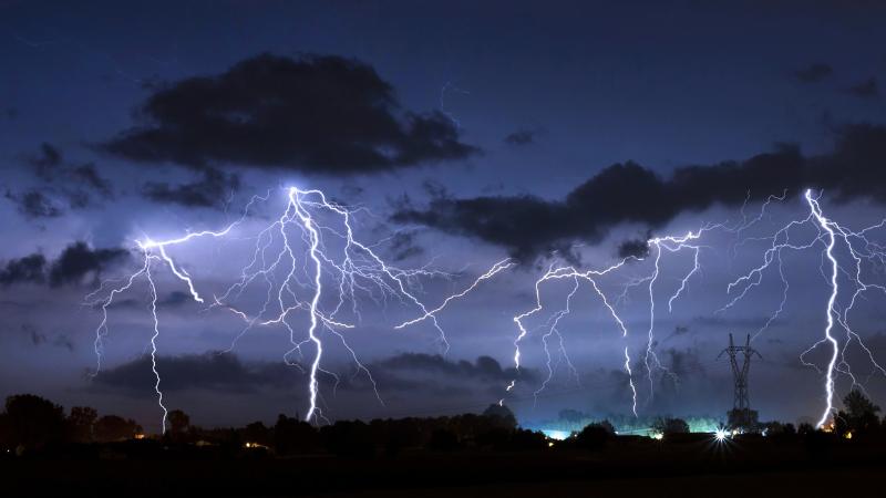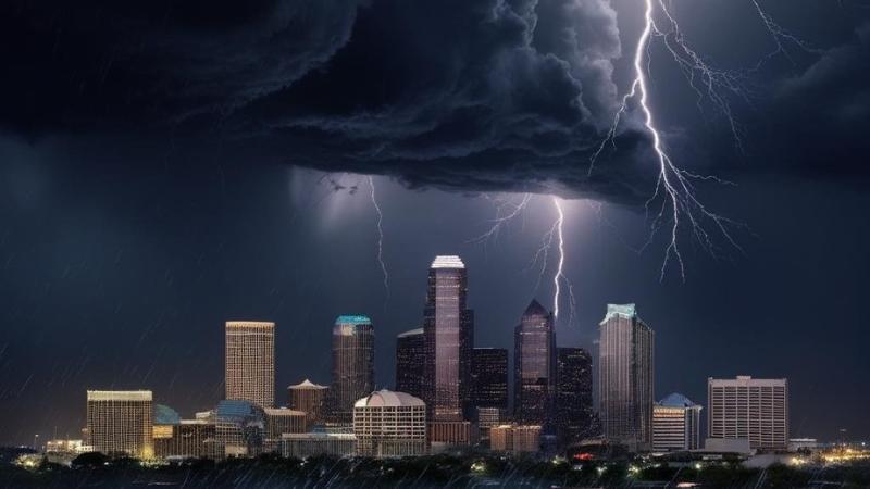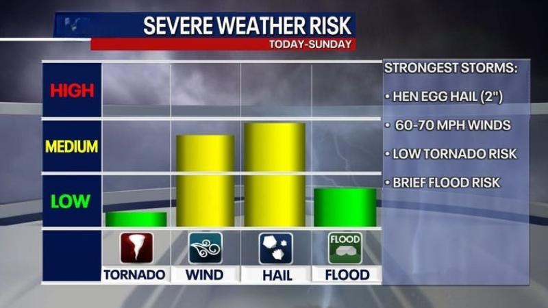
Residents in Dallas and across North Texas are being advised to stay alert as a round of potentially severe storms is expected to move through the region starting Friday afternoon and continuing through the weekend. While the tornado risk remains low, the forecast includes threats of large hail and damaging winds that could impact weekend plans.
Warm and humid conditions have settled over the Dallas-Fort Worth area, creating the kind of unstable atmosphere ripe for storm development. According to meteorologists, Friday will begin with morning cloud cover that clears as the day progresses. Temperatures will climb into the low 90s, and by late afternoon around 4 p.m. scattered thunderstorms are expected to begin developing, especially in and around the Metroplex. The eastern and southern parts of the DFW region are expected to see the most widespread activity.
The primary threats from these storms will be large hail and strong, potentially damaging winds. Though the likelihood of tornadoes is low, residents are still encouraged to monitor local weather alerts closely as the situation evolves.
On Saturday, conditions won’t be much different. The day is forecast to begin with warm, muggy weather as a dryline pulls back westward. By early afternoon, a stronger atmospheric disturbance is expected to arrive, sparking more thunderstorm activity mainly west of the Metroplex after 2 p.m. These storms could linger until approximately 8 p.m., again bringing the risk of hail and gusty winds.
Sunday’s forecast features continued warmth, humidity, and breezy conditions. Another storm system could approach late Sunday evening, adding to the unsettled pattern in the region.
The extended forecast shows that the storm chances will linger into Monday. Unstable air may trigger more showers or isolated storms before the weather system finally exits by Tuesday afternoon. Skies are expected to clear by midweek, offering some relief with sunny conditions and milder temperatures. Highs on Wednesday are expected to sit comfortably in the upper 70s to low 80s.
As always during severe weather season in Texas, residents should have multiple ways to receive alerts whether via smartphone apps, weather radios, or local broadcasts. Even without a major tornado threat, strong winds and hail can cause damage to property and disrupt travel.