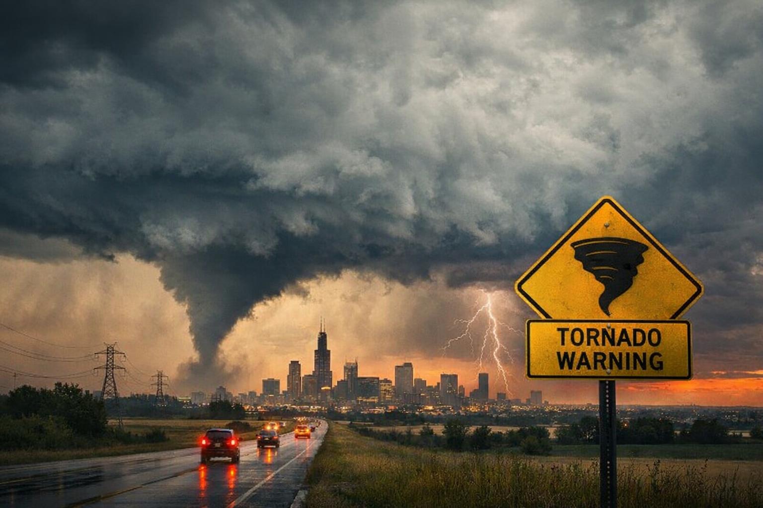
A significant severe weather system is expected to impact the Chicago metropolitan area on Friday, April 3, 2026, with forecasters warning of the potential for strong, long-track tornadoes alongside damaging winds and large hail. Meteorologists indicate that counties west of Chicago face the highest risk, though nearly the entire region has been placed under an enhanced risk category, classified as level three out of five on the severe weather scale.
A tornado watch was issued just before 2:00 PM local time (CDT) on Friday, April 3, 2026, and remains in effect until 8:00 PM CDT for several counties, including McHenry, Kane, Kendall, Grundy, DeKalb, and LaSalle. The alert highlights the possibility of intense tornado activity, wind gusts reaching up to 75 miles per hour, and hail measuring up to 2 inches in diameter.
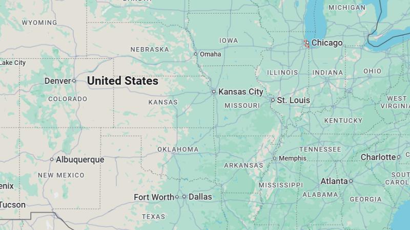
According to the National Weather Service, the most favorable conditions for tornado development are expected along and west of Interstate 39. Meanwhile, the U.S. Storm Prediction Center has identified a broader threat zone extending across eastern Iowa, northern Illinois, and southern Wisconsin, where severe thunderstorms capable of producing tornadoes are considered likely.
While the majority of the Chicago area remains under enhanced risk, a narrow corridor stretching from the northern lakefront through southern suburbs and into northwest Indiana has been categorized under a slight risk, or level two out of five. Despite this distinction, forecasters emphasize that all severe weather hazards remain possible across the region.
The primary window for severe storm activity is expected between 3:00 PM and 9:00 PM CDT on Friday, April 3, 2026. During this period, residents are urged to remain alert and prepared for rapidly changing conditions, as the combination of atmospheric instability and strong wind patterns could lead to dangerous and fast-moving storms.
A tornado watch was issued just before 2:00 PM local time (CDT) on Friday, April 3, 2026, and remains in effect until 8:00 PM CDT for several counties, including McHenry, Kane, Kendall, Grundy, DeKalb, and LaSalle. The alert highlights the possibility of intense tornado activity, wind gusts reaching up to 75 miles per hour, and hail measuring up to 2 inches in diameter.
According to the National Weather Service, the most favorable conditions for tornado development are expected along and west of Interstate 39. Meanwhile, the U.S. Storm Prediction Center has identified a broader threat zone extending across eastern Iowa, northern Illinois, and southern Wisconsin, where severe thunderstorms capable of producing tornadoes are considered likely.
While the majority of the Chicago area remains under enhanced risk, a narrow corridor stretching from the northern lakefront through southern suburbs and into northwest Indiana has been categorized under a slight risk, or level two out of five. Despite this distinction, forecasters emphasize that all severe weather hazards remain possible across the region.
The primary window for severe storm activity is expected between 3:00 PM and 9:00 PM CDT on Friday, April 3, 2026. During this period, residents are urged to remain alert and prepared for rapidly changing conditions, as the combination of atmospheric instability and strong wind patterns could lead to dangerous and fast-moving storms.