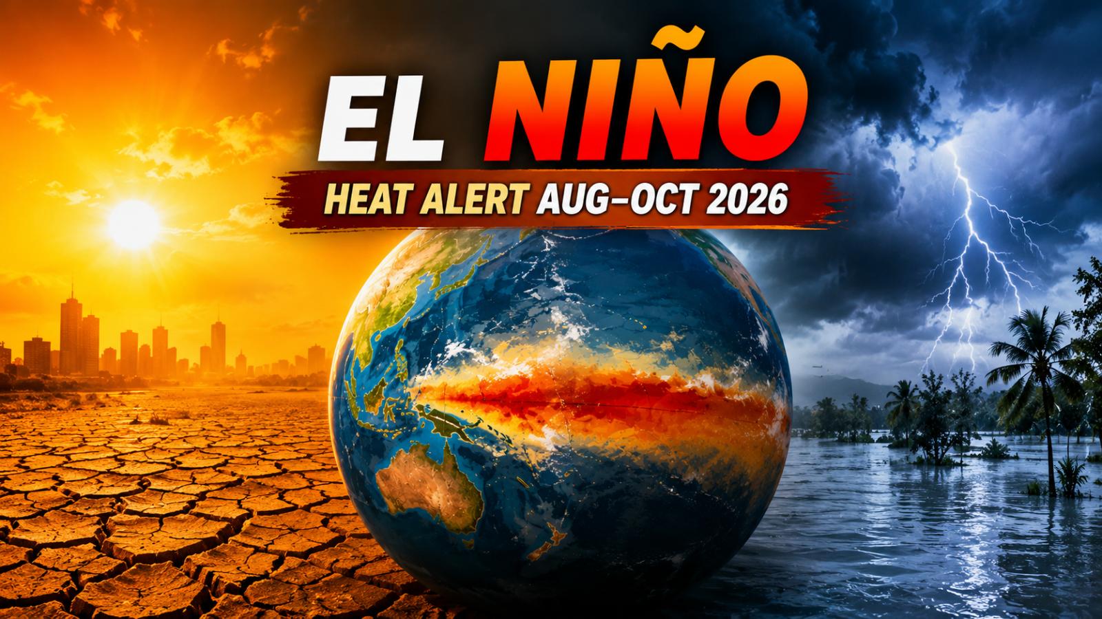
El Niño Aug-Oct 2026 is expected to intensify, raising the likelihood of widespread heat and major rain shifts. The WMO warning points to India monsoon risks, regional drought, flooding and changing weather patterns, although local outcomes will vary.
Heat outlook
A strong El Niño is developing and is expected to influence global climate patterns from August through October 2026, according to the World Meteorological Organization. Its latest seasonal update indicates that temperatures are likely to remain above normal across most inhabited land regions.
El Niño develops when surface waters in the central and eastern equatorial Pacific become unusually warm and interact with changes in atmospheric circulation. The phenomenon can alter winds, rainfall and temperatures across distant regions. However, it does not produce the same result everywhere, and a seasonal forecast should not be treated as a prediction of individual heatwaves, fires or floods.
WMO classifies El Niño events as weak, moderate, strong or very strong. It does not officially use the widely circulated term “Super El Niño.”
India rain
The August–October outlook indicates an increased chance of drier-than-normal conditions over the Indian subcontinent. That raises concern for agriculture, reservoirs and areas already experiencing uneven monsoon rainfall.
El Niño can weaken parts of India’s southwest monsoon, but it is not the only influence. The Indian Ocean Dipole, local pressure systems, sea temperatures and short-term monsoon disturbances can strengthen or offset its effects. This means India may experience rainfall deficits in some areas while other regions receive intense downpours.
The India Meteorological Department continues to issue regional forecasts rather than describing the entire country through a single rainfall number. Its August 4 update warned of heavy to very heavy rainfall in parts of northeast India, Kerala and Karnataka, showing how local extremes can occur even during a broader dry seasonal signal.
WMO alert
The WMO says El Niño is strengthening against a background of unusually warm oceans and rising global temperatures. A positive Indian Ocean Dipole is also expected to develop, potentially amplifying rainfall and temperature changes around the Indian Ocean basin.
WMO forecasts show a strong likelihood of above-normal temperatures across Africa, southern Europe, the Arabian Peninsula, India, eastern Asia, Central America and much of South America. These projections describe seasonal averages, not guaranteed daily conditions.
Rain shifts
Rainfall forecasts show a mixed global pattern. Wetter-than-normal conditions are considered more likely in parts of southern Europe, western North America, the Greater Horn of Africa and southeastern South America. Drier conditions are more likely across India, northern Europe, southern and eastern Australia, parts of Central America and the Caribbean.
Such shifts can increase drought and wildfire danger in dry regions while raising flood and landslide risks elsewhere. The actual impact will depend on local weather systems, preparedness, water management and how long the El Niño event persists.
Risk map
Governments and communities now have a limited window to prepare. Agricultural agencies can review crop and irrigation plans, cities can strengthen heat-health measures, and disaster authorities can update drought, flood and wildfire response systems.
WMO stresses that forecasts reduce damage only when authorities convert them into early action. Readers should follow national and regional weather agencies for local warnings rather than assuming that every global El Niño impact will occur in their area. Relevant internal links can point to the Climate News category, India Weather updates, disaster preparedness articles and regional city pages.