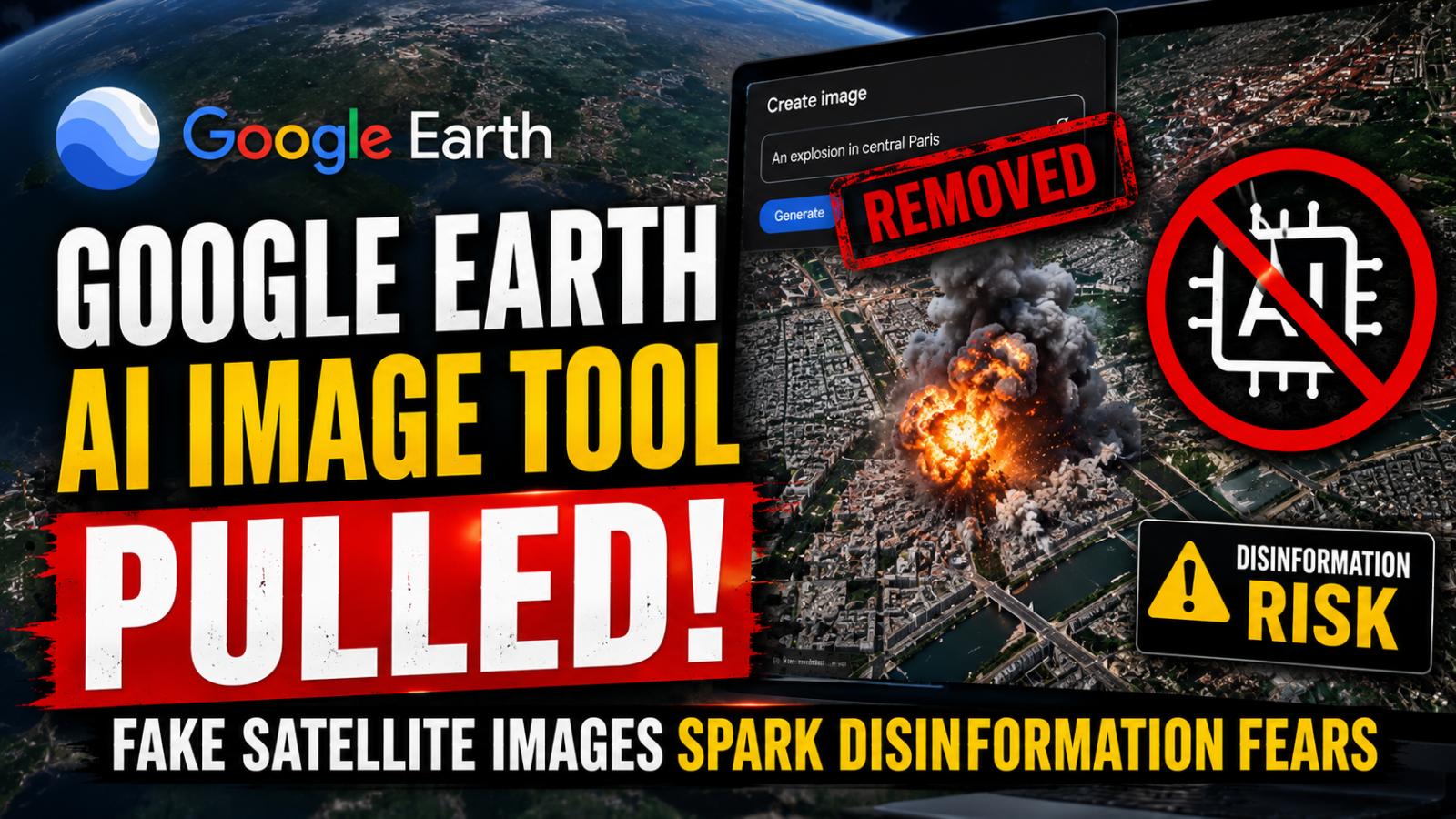
Google has withdrawn a newly launched image-generation feature from Google Earth after users demonstrated how it could create convincing but fictional satellite-style scenes. The Google Earth AI image tool lasted less than a day before concerns over fake satellite images, policy violations and online disinformation forced the company to reverse course.
Google Earth AI Tool Removed After One Day
Google introduced the “create image” option on the web version of Google Earth, allowing users to select a real location and transform it through a written prompt. The company promoted the feature as a way to redesign familiar places and create concepts grounded in satellite, aerial and 3D imagery.
According to Google’s launch announcement, users could zoom in on any supported location, select the tool and describe what they wanted to see. The resulting visual was generated using the company’s Nano Banana image model rather than replacing imagery shown to the wider Google Earth public.
The feature quickly attracted criticism after researchers generated fictional scenes involving real and politically sensitive locations. Within hours, screenshots showing fabricated disasters, military facilities and humanitarian emergencies began circulating online.
Fake Satellite Images Raise OSINT Concerns
Researchers and open-source intelligence specialists warned that the AI map generator could weaken trust in imagery used to verify wars, disasters and infrastructure damage. Google Earth has long served journalists, investigators and researchers as a reference point for examining real-world locations.
The tool reportedly produced fabricated scenes involving explosions, refugee camps, damaged buildings and military sites. Although the images were not inserted into Google Earth’s public mapping layer, users could still capture and distribute them without the surrounding interface or context.
That distinction matters. The tool did not secretly change Google’s official satellite record, but its connection to a trusted mapping service made the output appear more credible. A misleading screenshot could spread widely before investigators had time to establish whether it was authentic.
Nano Banana Feature Had Watermarks and Limits
Google said generated images carried digital watermarking and remained separate from the core Earth experience. The company uses SynthID technology to embed signals in AI-generated media, while Google Lens and Gemini can sometimes help users examine suspicious visuals.
Those protections reduced some risks but did not solve the central problem. Screenshots can be cropped, compressed or reposted in ways that hide labels and weaken detection. Researchers also warned that ordinary social media users may not check a viral image before sharing it.
Google acknowledged that geospatial professionals had found useful applications for the feature. Possible legitimate uses include urban design concepts, landscape planning and visualising how a site could change. However, those benefits did not outweigh the immediate risk of realistic geographic deepfakes spreading during conflicts or emergencies.
Google Rollback Focuses on Stronger Guardrails
A Google spokesperson confirmed that the company was rolling back the feature after seeing screenshots that appeared to violate its policies. Google said people uniquely trust Earth to provide a reliable view of the world and that it would work on stronger safeguards before reconsidering the tool.
The rapid reversal exposes a major weakness in AI product launches: watermarks and usage policies are not enough when a system can generate persuasive misinformation involving real locations. Stronger controls may need to block military, disaster and humanitarian manipulation while placing clear, permanent labels directly inside every exported image.
The incident also shows the opportunity cost of releasing powerful tools before testing obvious misuse cases. Google gained a creative feature for less than a day but risked damaging years of trust in one of its most widely recognised mapping platforms.