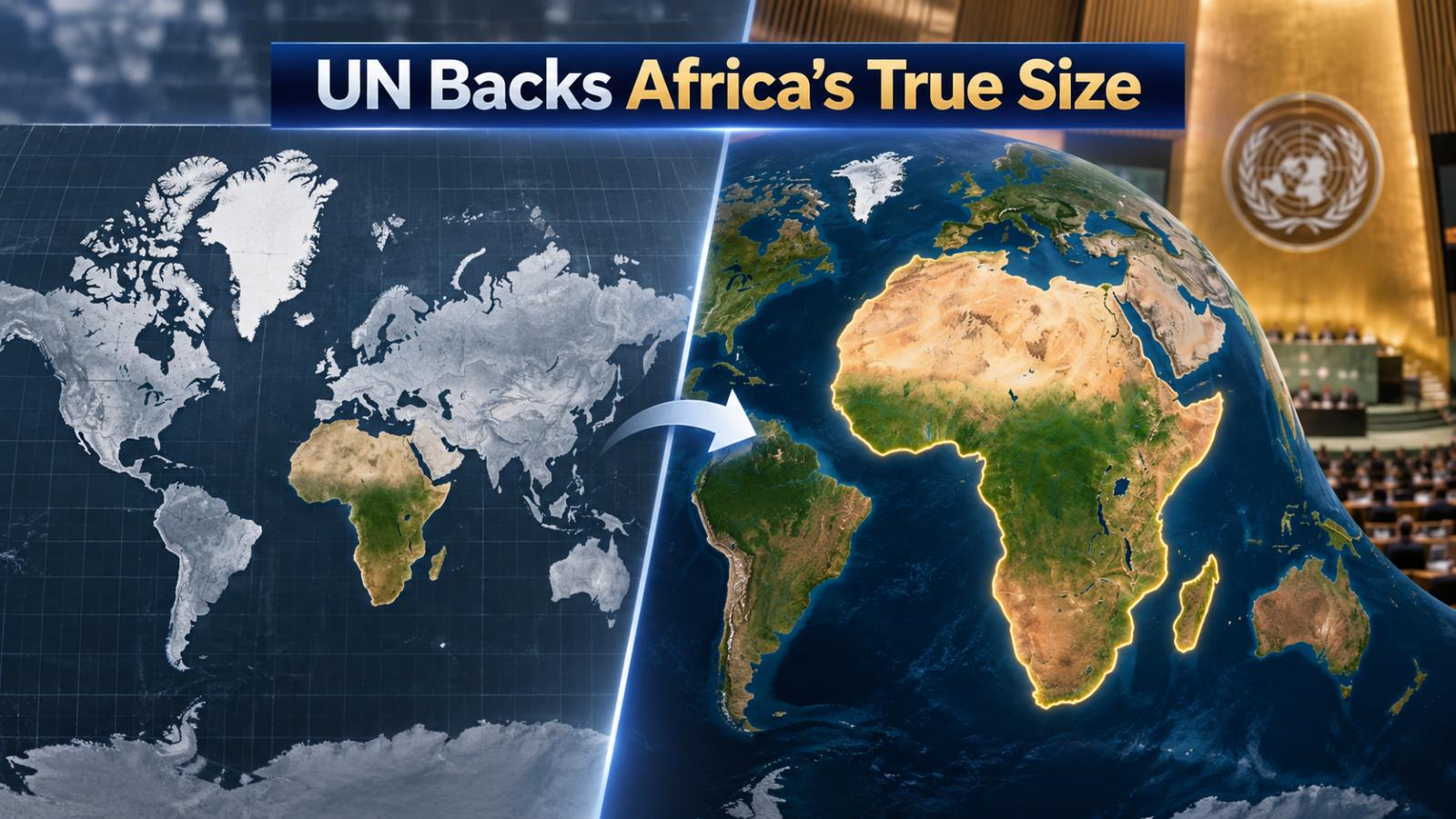
The Equal Earth map has gained global attention after the UN backed a push for a fairer world map that reflects Africa’s true size. The move challenges Mercator map distortion and supports an African-led campaign for more accurate geographic representation.
Equal Earth Map Wins UN Support
The United Nations General Assembly has endorsed a resolution encouraging wider use of the Equal Earth projection, a modern world map designed to preserve the relative size of land areas more accurately.
The measure passed with 164 countries in favor, one against and six abstentions. The resolution is non-binding, meaning governments and institutions are encouraged rather than legally required to change the maps they use.
The initiative was championed by Togo on behalf of the African Group and builds on the African Union’s Correct the Map campaign. The African Union welcomed the September 4 decision as an important step toward fairer cartographic representation.
Why Africa Looks Smaller on Mercator Maps
Africa covers roughly 30 million square kilometers, yet on many familiar world maps it appears far smaller in relation to northern regions. Greenland, for example, can appear close to Africa’s size even though Africa is about 14 times larger.
The reason lies in the Mercator projection, created by Gerardus Mercator in 1569. It was designed primarily for navigation because it preserves angles and compass directions. But converting the curved surface of Earth into a flat rectangle requires distortion.
Mercator stretches areas farther from the equator increasingly toward the poles. That makes Greenland, Canada, Russia and northern Europe appear much larger relative to equatorial regions such as Africa and South America.
African Union Pushes Map Reform
The African Union formally endorsed the Correct the Map initiative during its February 2026 summit. It adopted the Equal Earth projection and urged member states to consider revising educational materials to reflect a more proportionate view of the continent.
Supporters argue that maps shape more than geography lessons. They can influence how people perceive countries, populations, resources and global importance. A continent consistently shown smaller than its actual proportion can leave generations with a misleading visual understanding of the world.
The Equal Earth projection, developed in 2018, keeps land areas proportional while maintaining a visually familiar overall world map.
What the UN Map Vote Changes
The UN decision does not eliminate the Mercator projection. Mercator remains useful for certain navigation purposes, where preserving direction and angles matters more than showing accurate relative area.
Instead, the resolution encourages schools, institutions, international bodies and mapping services to use equal-area projections when relative size matters.
For Africa, the change is symbolic as well as educational. The continent is large enough to contain the United States, China, India and much of Europe with substantial space remaining, yet traditional maps rarely convey that scale clearly.
The Equal Earth map therefore offers viewers a more accurate sense of how continents compare, while the UN decision gives the African-led campaign significant international momentum.