Houston has emerged as the fastest-sinking major city in the United States, according to new peer-reviewed research that highlights growing threats to urban infrastructure from land subsidence. The study, published this month in Nature, analyzed satellite radar data over six years and found that 42% of Houston’s area is sinking faster than 5 millimeters per year, with 12% of the region experiencing rates above 10 millimeters annually.
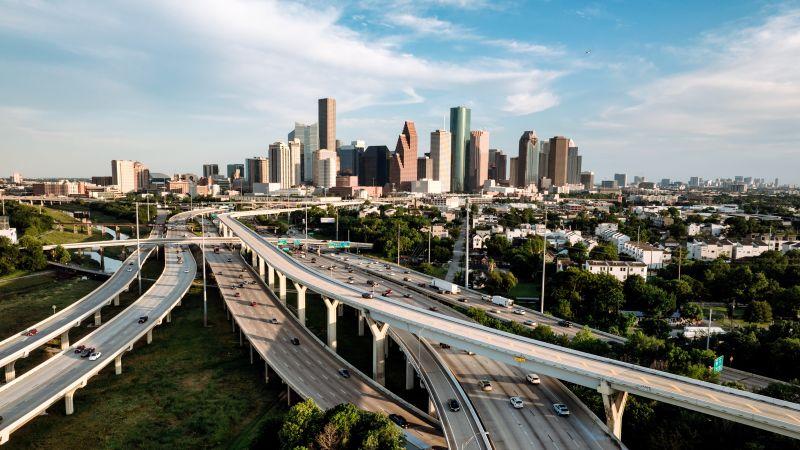
The phenomenon of land subsidence or the gradual settling or sudden sinking of the Earth's surface is an invisible hazard that undermines roads, destabilizes buildings, and worsens flooding in vulnerable zones. In parts of Greater Houston, especially in the north and west, subsidence rates are now nearing 2 inches (5 centimeters) per year. While historically associated with eastern communities like Baytown and Pasadena, the issue has become more widespread and persistent across the entire metropolitan region.
The primary drivers behind this alarming trend are long-term groundwater extraction and oil and gas drilling activities that, while essential to urban development, also disrupt the geological stability of the land. Despite regulatory measures in place since the 1970s, such as those enforced by the Harris-Galveston Subsidence District, the problem continues. The agency restricts freshwater groundwater mining to 20% of total usage in most of Harris County, and just 10% in coastal regions, to curb further land sinking.
Though Houston leads in the severity of subsidence, the study finds the issue is far from isolated. Out of the 28 most populous cities analyzed in the study, 25 are experiencing measurable subsidence. This puts more than 33 million Americans over 10% of the U.S. population on land that is slowly sinking, with urban zones across the country seeing declines of between 2 to 10 millimeters (0.08 to 0.39 inches) per year.
This subsidence not only damages infrastructure but compounds the risks of natural disasters. In a low-lying city like Houston, which borders Galveston Bay and connects to the Gulf Coast via Buffalo Bayou, the threat of flooding grows dramatically when land levels drop. Storm surges and hurricanes could hit harder and deeper in these vulnerable areas. To mitigate future flooding, the U.S. Army Corps of Engineers is designing the "Ike Dike" a massive coastal spine to shield inland communities from storm surges. Approved by Congress in 2022 and funded in 2024, the project entered its design phase in March. The construction is expected to span up to two decades, pending consistent federal funding.
Researchers behind the study stress the urgency of including subsidence in zoning regulations, building codes, flood risk assessments, and infrastructure investments. In their view, this quiet but dangerous shift beneath our cities must be treated with the same seriousness as sudden disasters. Long-term monitoring, public awareness, and policy adaptation are key to helping communities prepare for a future where the ground itself is no longer stable. As researcher Manoochehr Shirzaei emphasized to New Scientist, “We need to start treating subsidence like the slow-moving disaster it is.” With cities like Houston leading the way, it’s a stark reminder that not all threats to urban life come from above some are quietly happening below our feet.