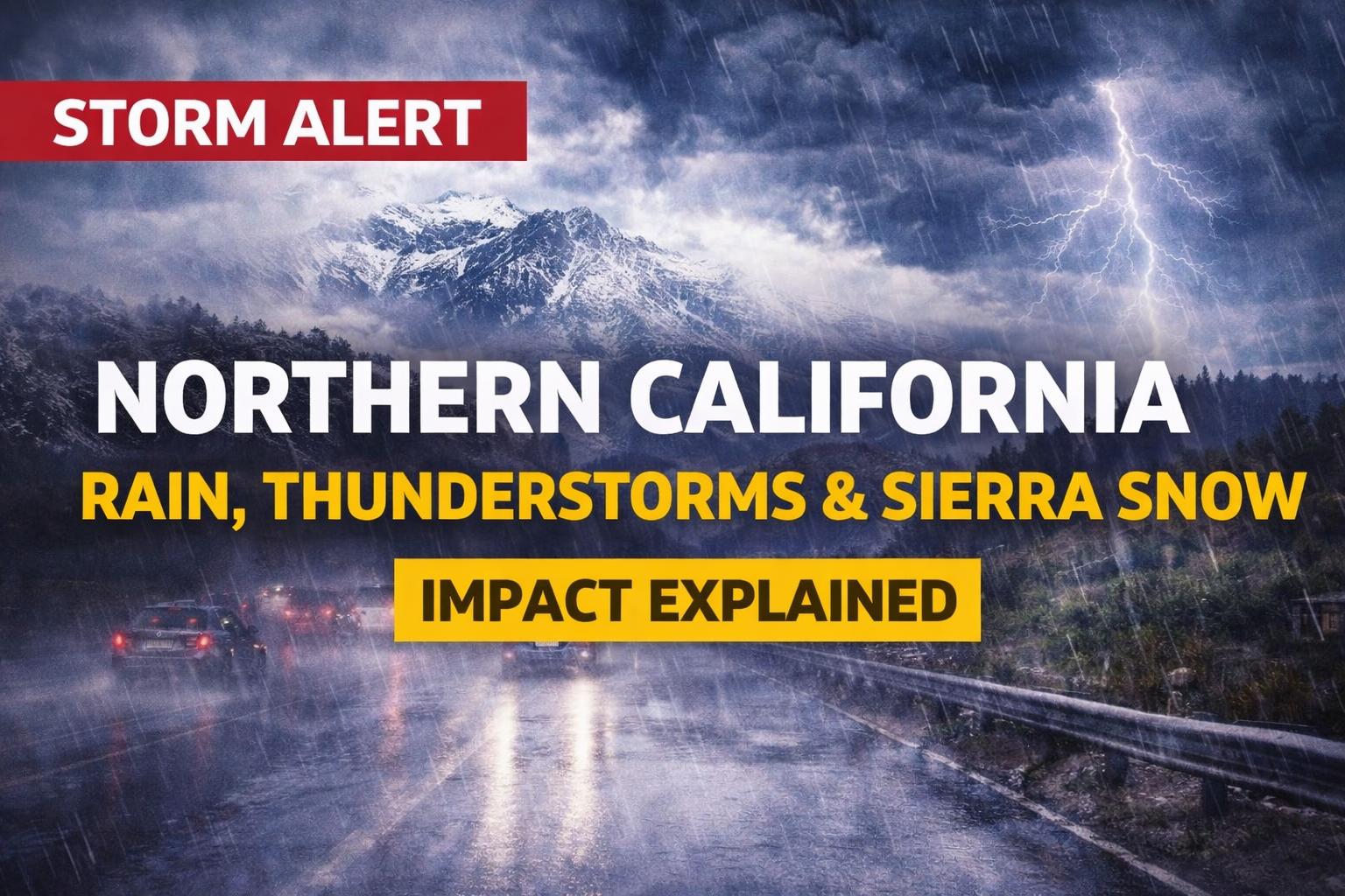
The Northern California weather update is drawing major attention as a new storm system brings rain, thunderstorms, and Sierra snow across the region. The development could impact travel, daily life, and local conditions, making it one of the most important weather events this week.
What happened and why it matters
On Monday, April 20, 2026, a developing storm system began impacting Northern California, with scattered showers forming along the coastline and gradually moving inland. Forecasters confirmed that rain intensity will increase through the evening, with steady rainfall expected overnight into Tuesday, April 21, 2026. While much of Monday remains partly cloudy and mild, areas west of Sacramento may experience light showers earlier in the day. This marks the beginning of a larger weather shift that will bring more active conditions across the region. Temperatures are expected to stay slightly cooler, with highs in the low 70s due to increased cloud cover and onshore winds.
Why this matters globally
This weather system is important because it could impact transportation, infrastructure, and daily routines across Northern California. Wet roads during the Tuesday morning commute may slow traffic and increase the risk of accidents. Thunderstorm activity may also bring localized disruptions, including gusty winds, lightning, and small hail. In mountainous regions, snowfall could affect travel routes, especially in the Sierra Nevada, where chain controls may be required. Weather patterns like this also highlight broader seasonal shifts and changing climate conditions that influence regional weather behavior.
Key details and background
The storm follows a period of relatively stable weather across the region. Over recent weeks, Northern California has experienced mild temperatures and limited precipitation. According to forecast models, this system is driven by an incoming front bringing moisture from the Pacific. Winds are expected to strengthen, especially in the Sierra, where gusts could reach up to 35 mph, particularly around the Lake Tahoe area. Snow levels are forecast to begin around 6,500 feet early Tuesday before dropping to around 4,500 feet by Wednesday morning. The heaviest snowfall is expected above 5,000 feet, with some passes potentially receiving up to a foot of snow.
What happens next
Looking ahead, the next few days will be critical as the storm moves across the region. Moderate to heavy rain is expected Monday night into early Tuesday, followed by scattered showers throughout the day. By Tuesday afternoon and evening, lingering moisture may fuel thunderstorms across valley and foothill areas. Rain will gradually taper off Tuesday night, with a few showers continuing into Wednesday, April 22, 2026. Most areas are expected to dry out by Wednesday evening, with calmer conditions returning through Thursday and into the weekend. However, there are early signs that another system could approach by the end of next weekend.
Expert insight / unique angle
From a broader perspective, this storm highlights how quickly weather conditions can shift in Northern California, especially during seasonal transitions. The mix of rain, thunderstorms, and snow in a short period reflects the region’s diverse climate patterns.It also raises important considerations for infrastructure and travel preparedness, particularly in areas prone to sudden weather changes. As climate variability continues to influence weather systems, such events may become more frequent and unpredictable. In conclusion, the Northern California weather system remains a developing situation with rain, thunderstorms, and Sierra snow expected to impact the region through midweek. As conditions evolve, the impact on travel and daily life will become clearer.For now, residents are advised to stay informed and prepared as the storm moves through and conditions gradually improve later in the week.