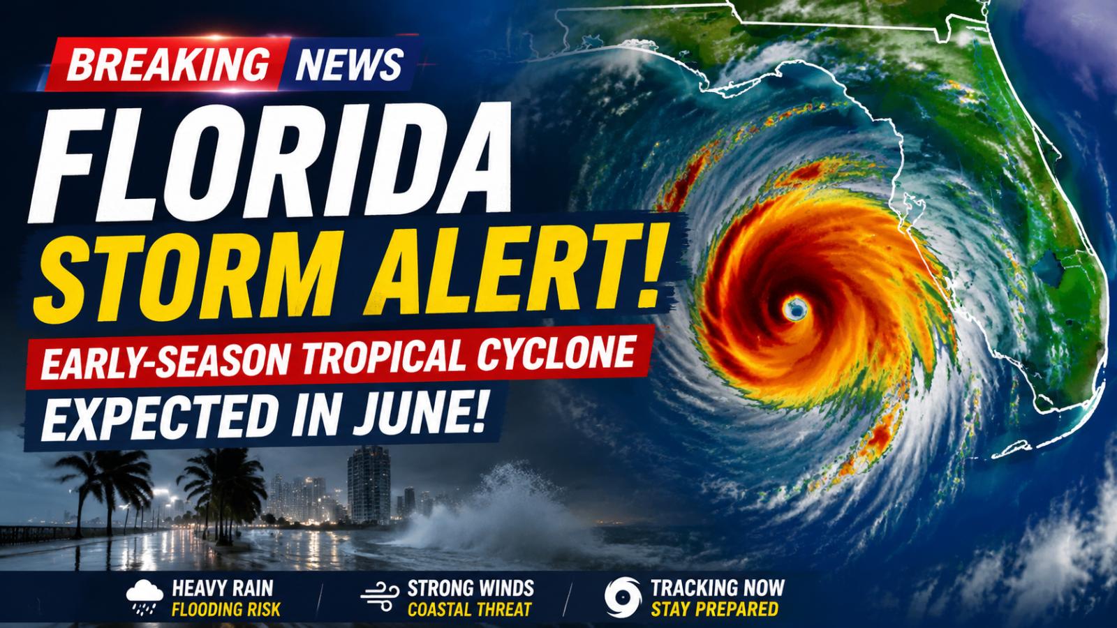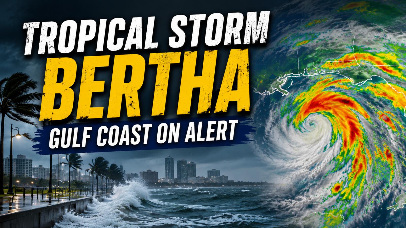
Tropical Storm Bertha is moving slowly across the northeastern Gulf, bringing tropical-storm winds, heavy rain, dangerous surf and coastal flooding risks to parts of Florida, Alabama, Mississippi and Louisiana. Residents should follow official updates because the storm’s track and impacts may change.
Tropical Storm Bertha forecast
The National Hurricane Center said Bertha was located about 110 miles south-southwest of Panama City, Florida, and roughly 170 miles southeast of Mobile, Alabama, at 4 a.m. CDT on Tuesday, July 21. The storm had maximum sustained winds of 50 mph, or 85 kmph, and was moving northwest at about 5 mph.
Forecasters expect Bertha to continue moving slowly northwest or west-northwest before turning west during the middle of the week. The projected path would take the storm near or along the northern Gulf Coast over the next several days. However, the official advisory does not confirm a direct New Orleans landfall at 1 p.m. Wednesday, as previously claimed.
Some slight strengthening remains possible on Tuesday, but the National Hurricane Center expects gradual weakening through the middle of the week. Tropical-storm-force winds extend up to 80 miles from the centre, meaning dangerous conditions may occur well away from Bertha’s exact track.
Gulf Coast storm warnings
A Tropical Storm Warning covers the coastline from the Alabama–Florida border to the Jefferson–Plaquemines Parish border in Louisiana. This means tropical-storm conditions are expected somewhere within the warning area within 36 hours.
A Tropical Storm Watch is in effect from the Bay–Gulf county line in Florida to the Alabama border. It also extends west of the Jefferson–Plaquemines Parish border to Morgan City, Louisiana, including metropolitan New Orleans, Lake Pontchartrain and Lake Maurepas. Tropical-storm conditions are possible in these areas within 24 to 48 hours.
Residents should understand that New Orleans remains under a watch rather than a warning under this advisory. Additional watches or warnings may be issued as Bertha approaches the coast.
Storm surge and coastal flooding
A Storm Surge Watch is in effect from the Alabama–Florida border to the mouth of the Mississippi River. If the highest surge arrives near high tide, water could rise two to four feet above ground between the Mississippi River mouth and the Alabama–Florida border.
Surge levels of one to three feet are possible from Morgan City to the Mississippi River mouth, around Lake Pontchartrain and along parts of Florida’s Gulf Coast. The deepest flooding is expected near the immediate shoreline, although local conditions will depend on tides, wind direction and coastal geography.
Bertha is also producing swells along Florida’s Gulf Coast. These conditions are expected to spread westward and may create life-threatening surf and rip currents. Small boats should remain in port where warnings are active.
Heavy rain and flash flood risk
Bertha could produce two to four inches of rain through Thursday from western Florida into southern Louisiana, including southern Alabama and Mississippi. Isolated locations may receive around six inches.
The slow-moving storm increases the danger of repeated rainfall over the same communities. Urban areas, low-lying roads and places with poor drainage face the greatest flash-flood risk. The earlier claim of widespread eight-inch totals affecting nearly one million people is not supported by the current National Hurricane Center advisory.
People across the northern Gulf Coast should avoid flooded roads, secure outdoor objects and monitor alerts from the National Hurricane Center and local National Weather Service offices. Useful internal links could include the US Weather News category, New Orleans city page, Florida business directory, emergency-services listings and previous Atlantic hurricane-season updates.