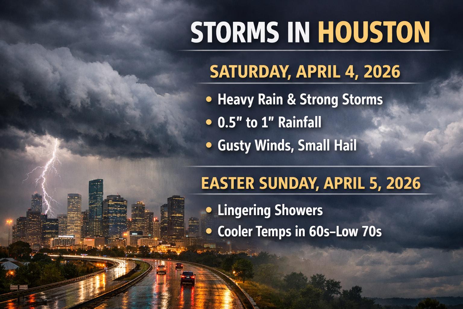
HOUSTON — An updated weather outlook indicates a more active and impactful pattern developing across the Houston area, with the most significant rain and storm activity now expected on Saturday, April 4, 2026, as conditions evolve into the Easter weekend period.
Forecast models show a strengthening system moving through Southeast Texas, supported by moisture from the Gulf of Mexico and an approaching cold front. This combination is expected to produce multiple rounds of showers and thunderstorms, with activity intensifying late in the day. The most active window is projected between 4:00 PM and 10:00 PM local time on Saturday, April 4, 2026, when widespread rainfall and stronger storm cells are most likely.
Rainfall totals across parts of the Houston region could range from 0.5 inches to more than 1 inch, with localized higher amounts possible under heavier storms. While widespread flooding is not currently anticipated, low-lying and flood-prone areas may experience temporary water accumulation during periods of intense rainfall.
In addition to steady rain, some storms may become strong, bringing gusty winds up to 60 mph and small hail. Although the overall severe weather threat remains limited, isolated storms could produce brief but impactful conditions, particularly during the evening hours on Saturday.
Conditions are expected to gradually improve into Sunday, April 5, 2026, though the start of Easter Sunday may still include lingering showers, especially in areas south of Houston. Rain chances are expected to decrease later in the day, but a 30 to 40 percent chance of additional showers remains possible. Cooler temperatures are also forecast, with daytime highs ranging from the 60s to low 70s Fahrenheit.
Looking ahead to early next week, the passage of the system is expected to bring a return to drier and more stable conditions, along with a gradual warming trend. Forecasters emphasize that while the general timeline is becoming clearer, residents should continue monitoring updates as storm timing and intensity may still shift slightly.