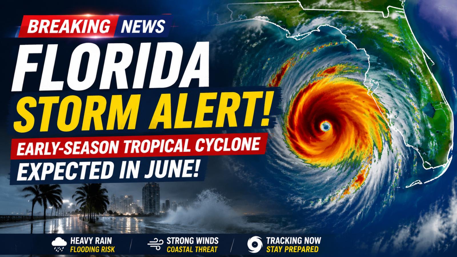
Florida storm alert: early-season tropical cyclone approaching
Meteorologists are monitoring a potential early-season tropical cyclone expected to impact Florida in early June. NOAA’s Global Forecast System (GFS) model shows a developing low-pressure system in the Gulf of Mexico that could bring heavy rainfall, strong winds, and flooding risks along the Gulf Coast. Forecasts suggest southern Florida may experience the first effects around June 5, with northern areas also under watch as the storm tracks westward toward Louisiana, Alabama, and Mississippi. Residents are urged to stay updated as the Atlantic hurricane season begins.
Storm trajectory and gulf coast impact
Warm ocean waters combined with tropical moisture from the Caribbean are fueling storm formation. Current model projections indicate the system could strengthen as it moves inland, causing several inches of rainfall, localized flooding, and hazardous coastal winds. Early-season storms, even if not major hurricanes, can pose significant risks, so continuous monitoring is critical.
Rainfall, flooding, and wind hazards
If forecasts hold, heavy and rapid rainfall could overwhelm drainage systems in coastal cities, creating flash flooding conditions. Strong winds may cause property damage and coastal disruptions. Residents should secure outdoor items, review evacuation routes, and avoid flood-prone zones. Awareness and timely preparation remain crucial to minimize potential impacts.
Preparation and safety measures
NOAA emphasizes that early-season tropical systems require attention, even in below-average hurricane years. Authorities and residents should follow reliable sources for updates, track storm movement, and take precautionary actions to safeguard homes, vehicles, and personal safety. Early alerts provide valuable time to prepare for flooding, wind damage, and sudden weather changes along the Gulf and Florida coasts.