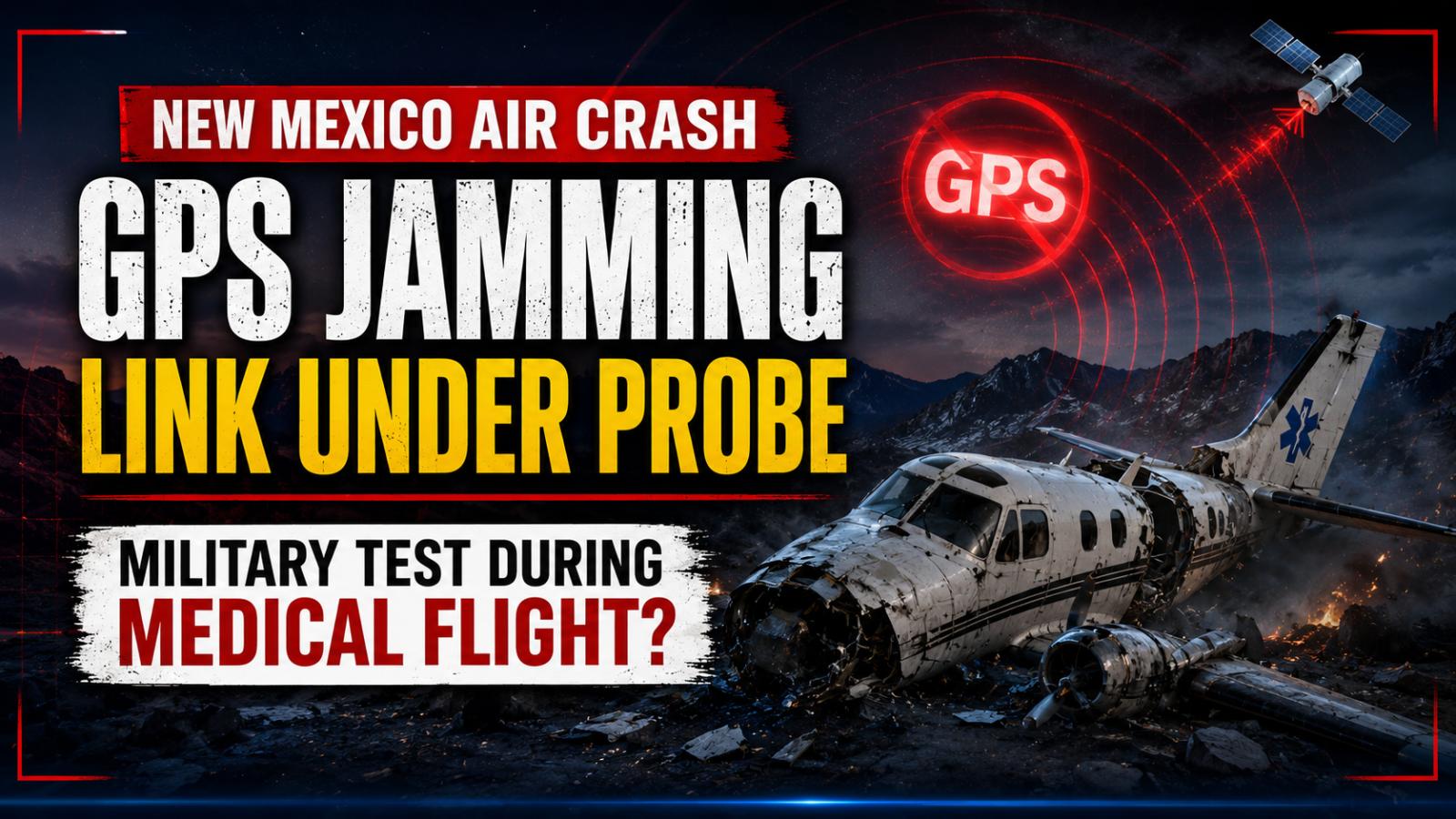
A fatal New Mexico air crash has raised urgent questions about the risks military GPS jamming operations may pose to civilian aviation. Four people died after an air ambulance lost GPS capability and struck mountainous terrain while flying to collect a patient near Ruidoso.
The National Transportation Safety Board has stressed that its findings remain preliminary. Investigators have not determined whether the military exercise caused or contributed to the accident, and the final probable cause will come only after a wider examination of flight data, communications and operational decisions.
New Mexico air crash kills four medical crew members
The Beech C90 aircraft crashed near Lincoln, New Mexico, at about 12:15 a.m. on May 14, 2026. The aircraft carried two pilots and two flight nurses, and all four suffered fatal injuries. Generations Jets operated the aircraft as a Part 135 air ambulance flight.
The crew had departed Roswell Air Center for Sierra Blanca Regional Airport in Ruidoso, where it was scheduled to collect a patient for transport to Albuquerque. The flight took place on a dark night with no moon illumination, although visual weather conditions prevailed.
The aircraft struck terrain at an elevation of about 9,950 feet near the Capitan Mountains. The impact caused a fire that developed into a major forest blaze.
GPS jamming test disrupts aircraft navigation
The NTSB report states that US military GPS jamming activities covered the area and altitude through which the medical flight was operating. Aviation notices had warned crews that GPS, satellite-based augmentation and related services might become unavailable across a wide region.
Shortly after departure, the pilot told Albuquerque air traffic control that the aircraft had lost GPS capability and needed heading guidance. The controller directed the crew toward Sierra Blanca Regional Airport and later contacted military officials to request that the jamming stop.
Three other aircraft in the area also reported losing GPS service. One pilot struggled to locate a ground-based navigation aid and required additional assistance from air traffic control, showing that the disruption extended beyond the medical aircraft.
Air traffic control guides crew toward Ruidoso
Controllers initially planned to guide the aircraft toward an instrument landing system approach because its GPS-based approach was unavailable. The medical crew later reported having Ruidoso in sight and requested permission to continue visually.
Air traffic control cleared the aircraft for a visual approach. The plane then turned southwest toward the airport, with mountains rising between its position and the runway. The Capitan Mountains in that area reach more than 10,000 feet.
After controllers informed the military that the aircraft had switched to a visual approach, GPS jamming resumed. The aircraft began descending shortly afterward and struck the mountain about five minutes later. The NTSB report records no further radio transmissions from the crew after the visual approach clearance.
Investigators examine altitude and radar data
Investigators found a notable difference between two tracking sources. The aircraft’s Spidertracks GPS altitude generally appeared about 600 feet higher than its ADS-B altitude, while the ADS-B record contained large gaps during periods of interference.
The NTSB is examining those altitude differences, recorded flight paths, radio communications and the timing of the military exercise. The investigation will also consider the crew’s transition from an instrument approach to visual navigation in dark mountainous terrain.
The preliminary evidence confirms that GPS interference occurred and affected several aircraft. It does not yet prove that jamming caused the crash. That distinction is critical, and any final c