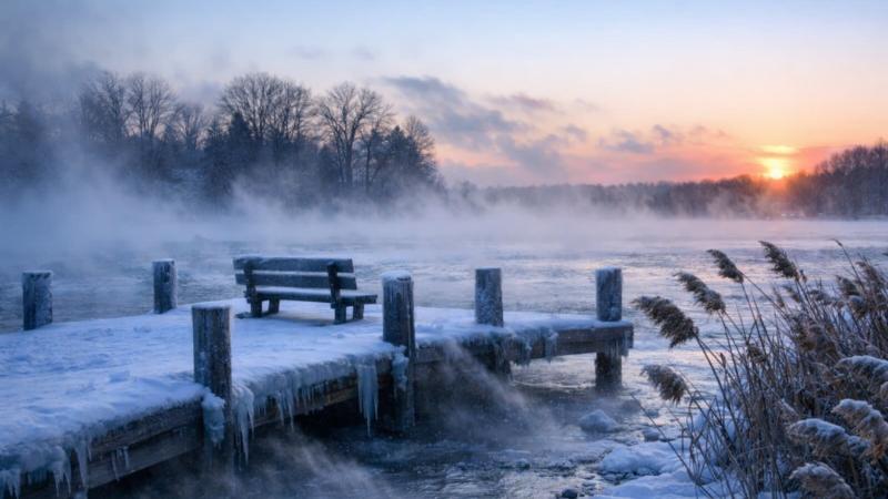
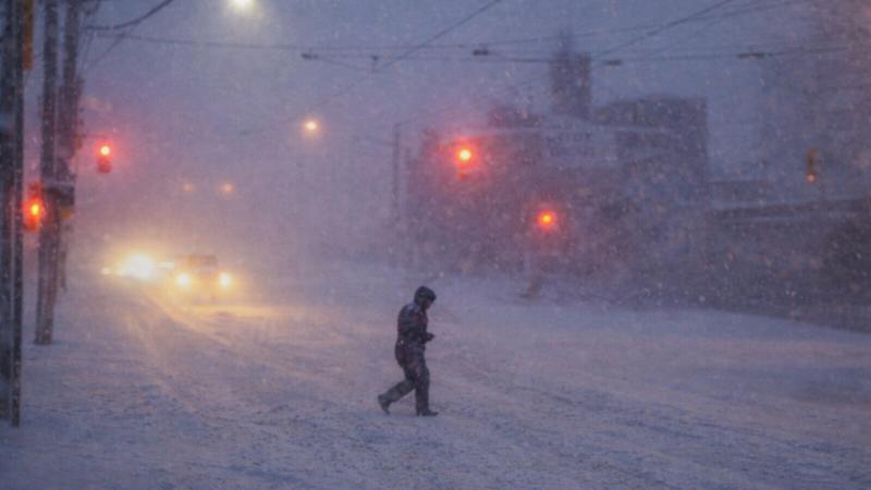
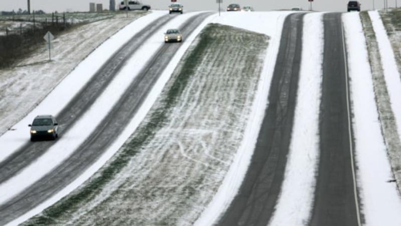
A surge of cold air carried by a persistent northwesterly wind is set to deliver some of the coldest conditions of the season through the weekend and into the Martin Luther King Jr. Day holiday. The combination of falling temperatures and gusty winds will make conditions feel significantly colder, particularly during the overnight and early morning hours.
By Saturday evening, the strengthening northwest wind is expected to drive wind chill values down into the teens, despite actual air temperatures remaining slightly higher. As the night progresses, colder air will continue to settle in, pushing wind chill readings into the single digits by early Sunday morning. These conditions may feel especially harsh for anyone spending time outdoors, as exposed skin will cool rapidly under the steady breeze.
Sunday morning will begin on a frigid note, with temperatures hovering near 10 degrees. When combined with the lingering wind, wind chill values around zero are anticipated in many areas. While some sunshine is expected later in the morning and into the afternoon, it will do little to offset the entrenched cold air mass. Afternoon highs are forecast to struggle, barely reaching the 20-degree mark, well below typical seasonal levels.
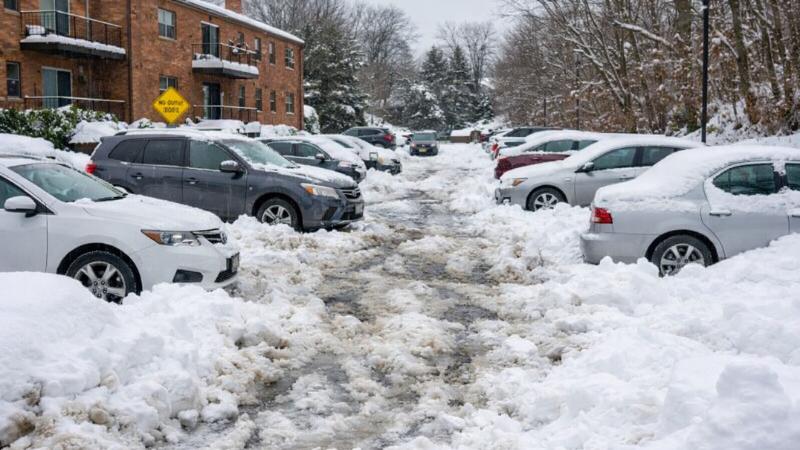
The cold will not ease Sunday night, as clear skies and light winds allow temperatures to drop once again. Overnight lows are expected to fall into the low teens heading into the holiday morning, with wind chill values again approaching zero. These conditions reinforce the ongoing cold snap, extending the stretch of icy mornings and limited daytime warming.
Martin Luther King Jr. Day itself is expected to remain firmly in winter’s grip. Afternoon temperatures are forecast to rise only into the lower 20s, even with periods of sunshine. While the sun may provide a brief visual break from the gray of winter, it will offer little practical warmth, leaving the day feeling sharply cold from start to finish.
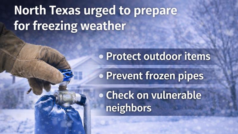
Residents are encouraged to take precautions during this period of freezing temperatures, particularly during early morning and evening hours when wind chill values are lowest. The extended duration of the cold air, paired with persistent northwest winds, underscores the importance of dressing appropriately and limiting prolonged outdoor exposure when possible. As the holiday weekend unfolds, the dominant weather theme will remain unchanged: frigid air, biting wind chills, and minimal relief from the cold.

 Joyful
0%
Joyful
0%
 Cool
0%
Cool
0%
 Thrilled
0%
Thrilled
0%
 Upset
0%
Upset
0%
 Unhappy
0%
Unhappy
0%